 |
| John Wesley Powell |
 |
| Grand Canyon |
 |
| Green River Station, Wyoming |
 |
| Green River, Beehive Point |
 |
| Green River, Flaming Gorge, Wyoming |
 |
| Green River, Labyrinth Canyon. On the dividing ridge at Bowknot Bend, looking up ( left ) and down ( right ) the river. 6 miles from one point to the other |
 |
| Green River, Wyoming, Canyon of Lodore |
 |
| Green River. Ashley Falls, looking up |
 |
| Hand Rock, De Chelly Canyon, Apache County, Arizona |
 |
| Marble Pinnacle, Kenab Canyon, Grand Canyon of the Colorado River |
 |
| Monroe Canyon, Utah |
 |
| Monument Canyon De Chelly, Arizona |
 |
| Monument in Canyon De Chelly, Arizona. Apache County |
 |
| Mt. Trumbell region, Arizona. The Innupin Picavu Witch's Waterpocket |
 |
| Navajo Church near Fort Wingate, McKinley County, New Mexico |
 |
| Near Foot of Toroweap, looking east at Grand Canyon |
 |
| Old Time rocks. Tantalus Creek, Aquarius Plateau, Wayne County, Utah |
 |
| On Boulder Creek, Aquarius, Plateau, Garfield County, Utah |
 |
| Red Canyon, Green River-Ashley Falls from above, Utah |
 |
| Reflected tower, Rio Virgin, Utah. "Angels Landing" |
 |
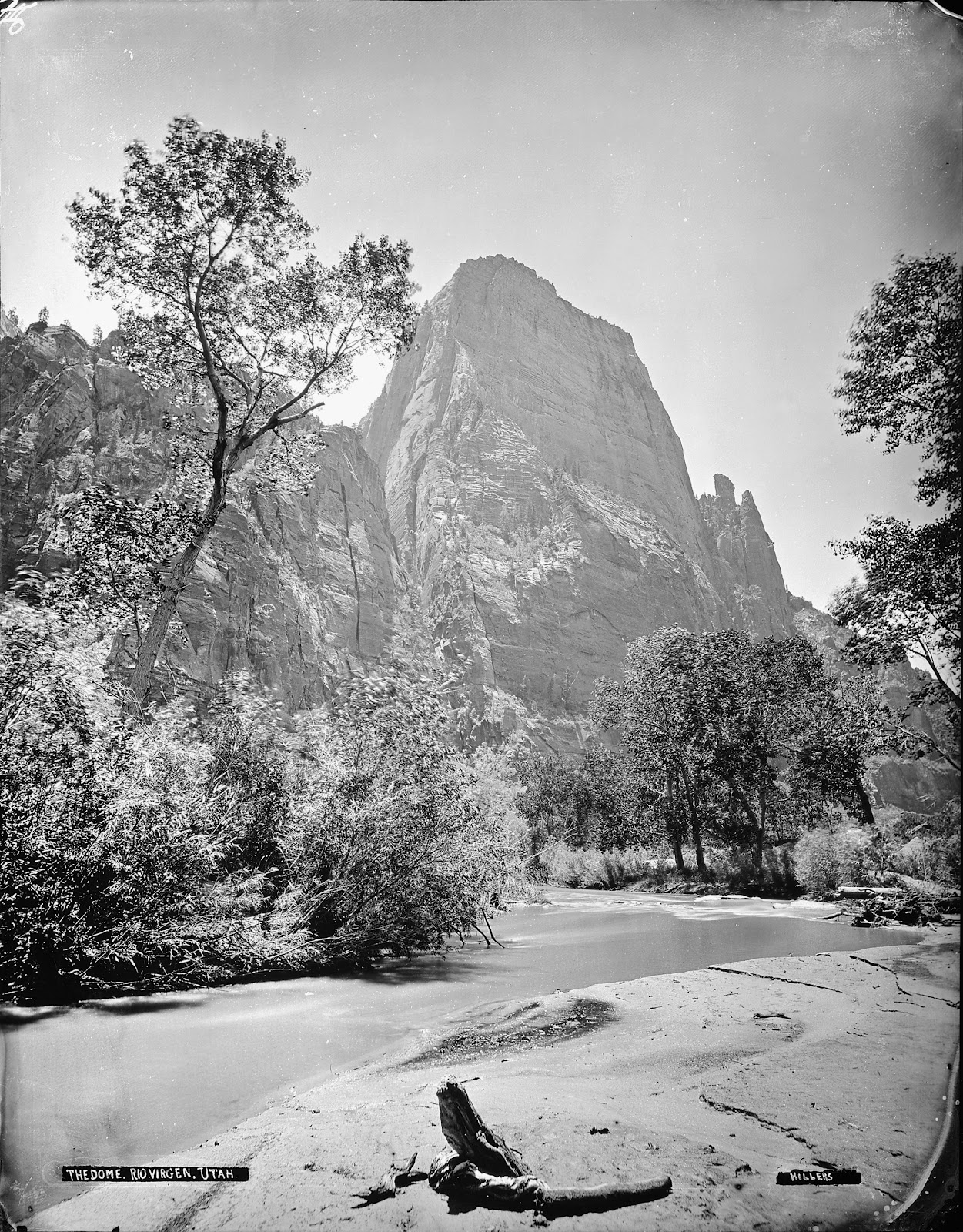
| Rio Virgin, Utah |
 |
| Santa Fe Railroad bridge over Canyon Diablo, Arizona, showing train and signs of Albuquerque, New Mexico |
 |
| Santa Fe Railroad bridge over Canyon Diablo, Arizona |
 |
| Steep-dipping bed at northwestern end of Zuni Uplift from west of Fort Wingate, New Mexico |
 |
| The heart of Lodore, Green River-F.S |
 |
| Yampa River |
 |
| Zion National Park. The Three Patriarchs on the West side of Zion Canyon |
No comments:
Post a Comment
Note: only a member of this blog may post a comment.